| Moscow Landing KT boundary sites (Google Earth 2006) in the Tombigbee river |
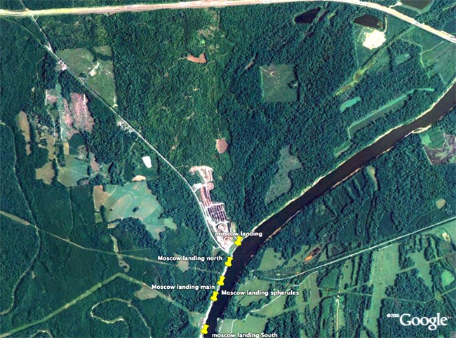 |
| Moscow Landing KT boundary sites (Google Earth 2006) in the Tombigbee river |
|
 |
|
back to K/T boundary index page |
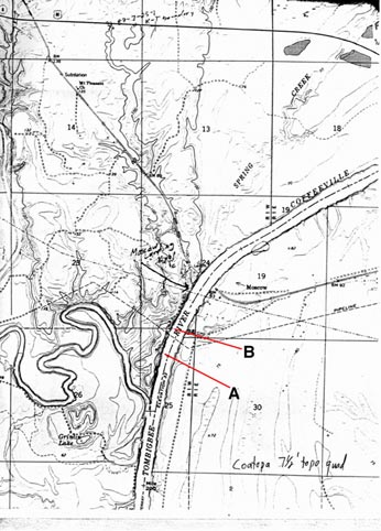
| Map with channel locations (large) |
 |
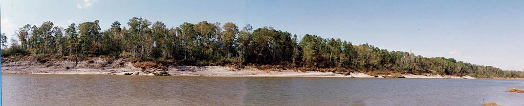
| Channel B |
| Channel A |
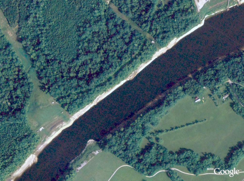
| Channels A and B are now (Aug. 2007) clearly visible on Google Earth |
 |
| Profile of the Outcrops along the Tombigbee river (D. E. Jones, Alabama Geological Survey) (Large Image) |